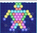
Connect Lines 2 - Tap on any of the lines or termination pieces to rotate them. It’s easy to operate, and it needs your thinking to solve...
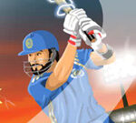
Cpl Tournament - If you are a cricket lover and want to practice your cricket skill, you can come here and try this game. You need to hit...
Pink - This game is related to crush the white blocks and show the pink background. Actually, before launching the white ball, the...
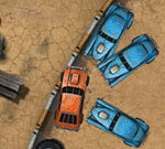
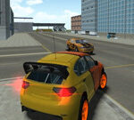
Wrecked - Do you want a crazy car collided? Just like a bumper car. It sounds cool, right? Wrecked is a unique driving game which you...
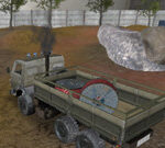
Russian Kamaz Truck Driver - Russian Kamaz Truck Driver is a fantastic truck simulation game. You must attempt to park your beautiful Kamaz truck in different...
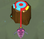
Extreme Followers - Extreme Followers is a fun arcade game. The game is simple to operate, which rule is to manipulate people to reach people...
Roller Splat - Roller Splat is coming now! That’s so exciting to paint all over the pure white maze as the ball rolling and splash....
Color Bump 3D - It’s time to try an addiction game Color Bump 3D! Protect the rolling ball from other colors. Swipe to Left and right...
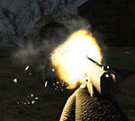
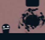
Slenderman Must Die: Abandoned Graveyard - Slenderman Must Die: Abandoned Graveyard is another amazing installment from the sinister and creepy Slenderman Must Die...
Life In The Static - Life in the Static is a exciting adventure game. Among them you have to meet different challenges. You have a unique ability,...