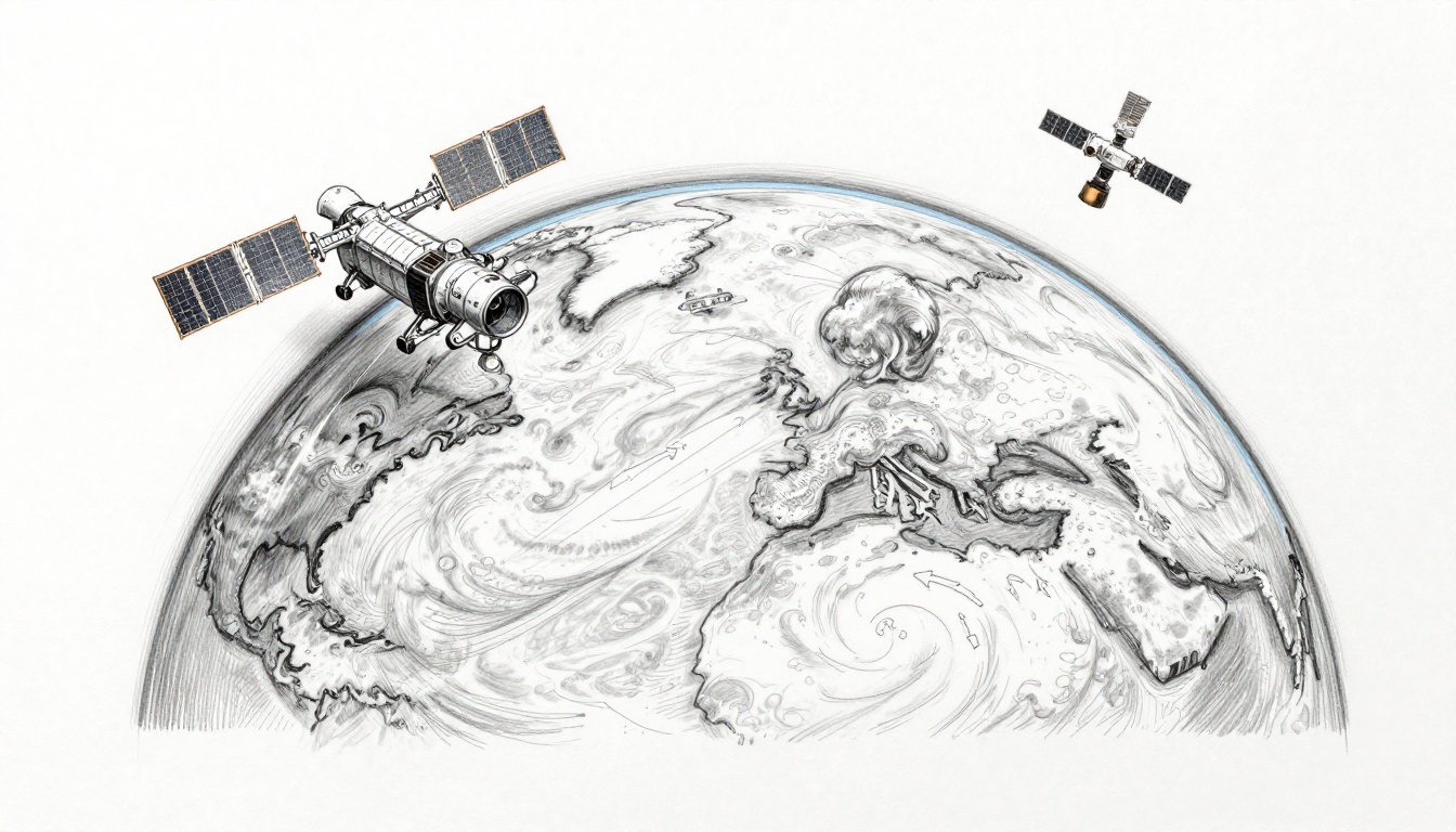
A hurricane can look like chaos from the ground. From space, it can look like a moving storm label on Earth’s skin. That difference can save lives.
In March 2026, NOAA’s satellites keep watching storms, smoke, snow, and heat waves around the clock. They spot changes fast, even over oceans and remote regions. Then forecasters use those satellite readings to update forecasts sooner and more often.
So how do satellites do it? They collect cloud pictures, temperature profiles, moisture levels, and wind clues that ground stations often miss. After that, computers blend the data into weather models. The result is clearer warnings for families, pilots, farmers, and emergency teams.
Next, you’ll see how two satellite types work together, what they measure, and why the data matters in real forecast updates.
The Two Main Types of Satellites Tracking Our Weather
Weather forecasting depends on two “angles” from space. One set stays fixed over a region. The other set sweeps the planet in passes.
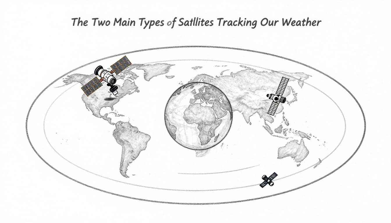
In the U.S., NOAA’s geostationary and polar systems team up to fill in gaps. Together, they provide both fast updates and wide global coverage.
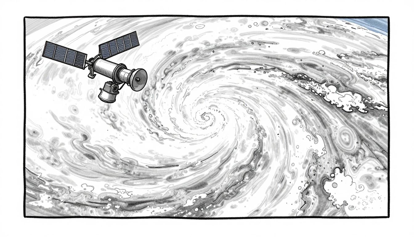
Geostationary Satellites: Your Constant Weather Watchdogs
Geostationary satellites hover over the same spot above Earth. That means the view stays steady over the U.S. and surrounding oceans.
NOAA’s GOES East and GOES West are part of the GOES-R series. As of March 2026, they’re fully operational. GOES-19 serves as GOES East at 75.2° West, and GOES-18 serves as GOES West. They belong to the same family that delivers near-continuous monitoring. For background on the fleet, see NOAA’s geostationary satellites overview.
How high are they? About 22,000 miles above the equator. Because they move at Earth’s rotation rate, they look “stuck” in the sky.
These satellites also scan very often. In practice, that means rapid updates for fast storms. When thunderstorms pop up, or when hurricane structure changes, forecasters get images every few minutes. GOES can also help track lightning and monitor hazards like wildfire smoke spreading over large areas.
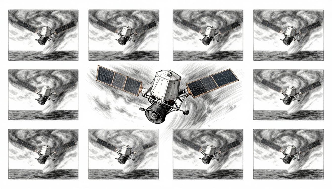
Polar-Orbiting Satellites: Scanning the Entire Planet
Polar-orbiting satellites follow a different job: global coverage. They pass over the poles and circle Earth in near north-south tracks.
NOAA’s JPSS series includes Suomi NPP, NOAA-20, and NOAA-21, plus the upcoming JPSS-4 (renamed NOAA-22). In early 2026, all three flying satellites provide key data. There are no JPSS launches planned in 2026. JPSS-4 is set for launch readiness in 2027.
Polar satellites typically cross a given spot more than once per day. That matters because weather changes with time. Their instruments measure temperatures and moisture at different layers of the atmosphere. These “layer” details help models handle fronts, rain bands, and storm growth.
JPSS data also supports both short and longer-range forecasting. NOAA describes the JPSS system as a backbone for short- and long-term forecasts through global observations, so it’s more than just a snapshot. Learn more via NOAA’s JPSS mission page.
What Weather Satellites Measure from Space?
A satellite is not a single sensor. It’s a stack of instruments working together. Each one “listens” to different parts of the atmosphere and Earth system.
Rather than sending one number, satellites build a picture. That picture includes clouds, heat, moisture, winds, precipitation hints, and ice or snow conditions. Then forecasters and model teams turn those readings into inputs for weather prediction.
Images and Temperatures: Seeing Heat and Clouds Clearly
Satellites use visible and infrared sensors to map clouds and temperatures. In plain terms, visible light shows cloud shapes during the day. Infrared adds a second superpower: it works at night too.
Infrared can estimate cloud-top temperatures. That helps forecasters gauge storm strength. Cold cloud tops often signal taller, stronger convection. Over oceans, that matters because you may not have a nearby aircraft or weather buoy.
Temperature matters beyond cloud tops. Sounders can also infer temperature changes through the atmosphere. With that, models get help where weather systems start to form or change.
Infrared imagery also helps with smoke and fire. Smoke often shows up as haze in certain bands. So forecasts can improve for air quality impacts, not just storm tracks.
Humidity, Winds, and Rain: Measuring the Moisture and Motion
Moisture drives rain. Satellites measure water vapor using specialized channels. That improves estimates of how “wet” the air is, which influences rain chances and storm intensity.
Then there’s wind. Meteorologists often use cloud motion and atmospheric motion patterns to estimate winds at different levels. These wind clues help models keep storms from drifting too far off track.
For precipitation, satellites can estimate rainfall rates indirectly. Some sensors detect signatures linked to rain and snow. Others detect ice and snow cover over land. Microwave-style measurements are especially helpful for precipitation and frozen conditions.
All of that is hard to do from the ground alone. Ground stations are uneven. The ocean is vast. Forests and deserts block visibility. Satellites fill those gaps with repeat views.
How Satellite Data Powers Smarter Weather Predictions
Once satellites collect data, the next step is getting it into forecast models.
First, satellite measurements travel to ground stations. Then they go through quality checks and processing. After that, computers use data assimilation. This is the process where model estimates and real-world observations get combined.
In short, satellites provide the “what’s happening now” pieces. Models provide the “what might happen next” math. With more accurate inputs, forecasts improve.
Meteorology groups around the world rely on this idea. For a clear explanation of how satellite observations support forecasting and data assimilation, see ECMWF’s fact sheet on satellite observations.
Here’s how the two satellite types add value at different time scales:
- Geostationary data supports near-real-time monitoring and short-term updates (now-casting).
- Polar data strengthens forecasts for the next several days by improving the model’s initial state.
So when you see a forecast update, you’re often watching the latest mix of satellite views and model calculations.
Life-Saving Impacts: From Hurricanes to Daily Forecasts
When satellites work well, people feel it as a decision they can make. Evacuate or stay. Stock up or travel. Prepare for floodwater or skip an outdoor event.
Tracking Massive Storms Like Hurricanes
Hurricanes are hard because the ocean is huge. Ships can’t cover everything, and aircraft can’t stay everywhere.
Geostationary GOES satellites watch storm structure in near real time. That helps forecasters track intensity changes, spiral band development, and rapid structural shifts.
Polar JPSS data supports broader analysis too. It adds temperature and moisture profile information that helps models set up the environment around the storm. As NOAA notes, JPSS global data supports forecasting from several days out, which is important when planning evacuations.
In practical terms, better satellite inputs help improve track guidance and intensity expectations. That can mean earlier warnings and clearer guidance for emergency teams.
Beyond Storms: Climate and Everyday Weather Wins
Satellites don’t only help day-to-day alerts. They also support long-term trend work, like sea ice change and ocean heat patterns. That context helps experts understand the background conditions storms build on.
On the ground, forecasts shaped by satellite data show up in many daily choices:
- Winter weather alerts for snow and ice impacts
- Flood risk estimates when moisture and rainfall patterns line up
- Aviation planning when cloud cover and storm location shift
- Wildfire smoke forecasts when smoke spreads across states
Even when you never see the satellite image, you feel the result. A forecast is only as good as the observations behind it.
2026 Breakthroughs Making Forecasts Even Better
By March 2026, the big picture is steady improvement, not one single miracle launch.
For NOAA, GOES-R series satellites keep delivering sharper views and more frequent monitoring. GOES-19 and GOES-18 stay active, with routine calibrations and ongoing instrument care.
JPSS systems also keep evolving. Suomi NPP’s CrIS instrument for temperature and moisture data stopped operational use on February 11, 2026, after a problem in late 2025. That’s a reminder that space systems need careful monitoring over time.
Meanwhile, JPSS-4 (NOAA-22) is preparing for the next leap. In February 2026, tests showed key readiness steps, including solar array deployment. For early details, check JPSS-4 solar array test updates on NESDIS.
The main takeaway for 2026 is this: sensors get better, calibration keeps improving, and forecast models keep getting more accurate inputs. Partnerships also support global coverage, which matters when storms cross boundaries.
In the near future, forecasts may improve even more as faster observing schedules and new processing methods come online.
Conclusion
Satellites are how weather forecasting gets eyes where ground tools can’t reach. Geostationary satellites provide constant regional monitoring. Polar-orbiting satellites scan the whole planet and add temperature and moisture details that models need.
Those measurements feed into weather prediction systems through data assimilation. That’s the engine behind updates you rely on for days, not just hours.
Next time you see storm coverage, pause for a second and picture the view from space. That watchful orbit helps turn uncertainty into action. And with ongoing upgrades heading into the late 2020s, forecasts should keep getting faster and more accurate for everyone, from farmers and pilots to families deciding when to evacuate.
Want to spot satellites in action during your next forecast check? Look for the latest cloud, moisture, and storm structure images in local weather updates.