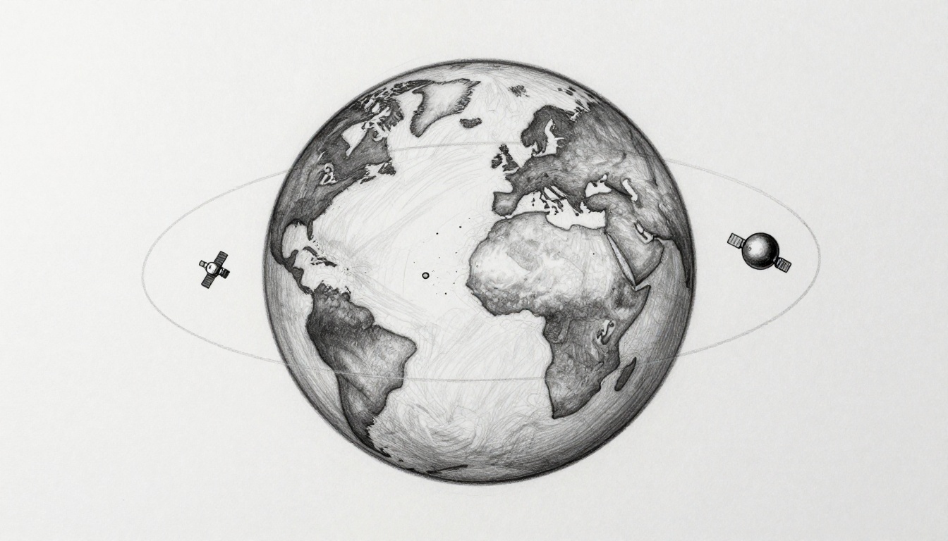
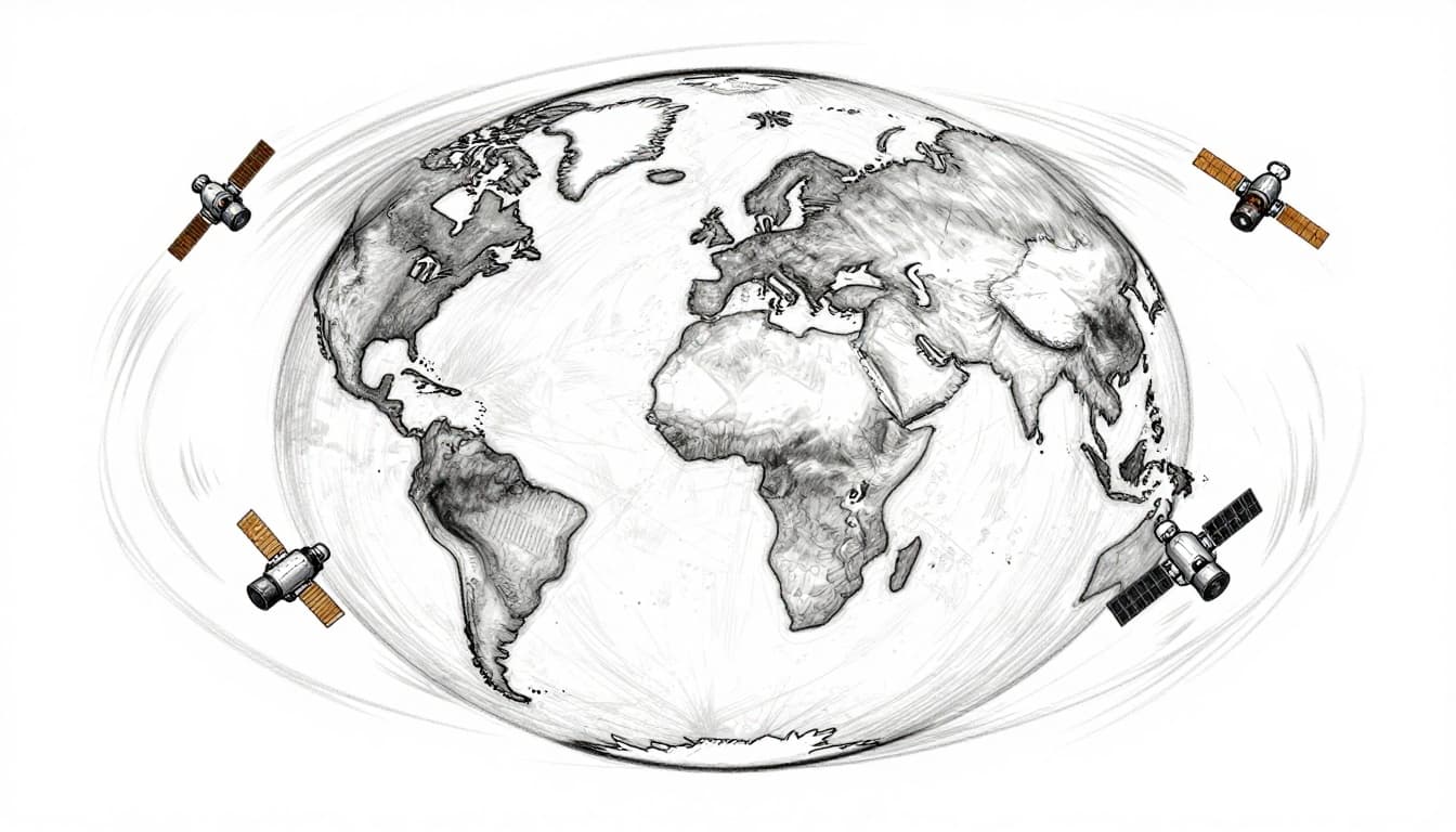
Satellites in low Earth orbit (LEO) look like busy bees, darting across the sky fast. Satellites in high Earth orbit (HEO) feel like lazy watchers, staying much farther away and taking their time.
Knowing the difference matters because orbit choice shapes what you get on the ground. It affects internet speed, how often satellites can revisit a place, and how weather teams can spot storms. It also shapes what’s practical for space exploration, from cargo runs to long-lived observatories.
LEO usually means about 160 to 2,000 km above Earth. HEO is often used for orbits above 35,786 km, including geostationary orbits where satellites appear to hover. Next, you’ll see what makes LEO special, then why HEO earns its “far-out” reputation. Finally, you’ll compare both options and see where they show up in real life.
What Makes Low Earth Orbit So Special?
LEO is the “closer to home” zone for satellites. In simple terms, it covers orbits roughly 160 to 2,000 km above Earth. At those heights, satellites move quickly and circle the planet on short schedules. NASA’s Earthdata explains that an orbit is the path a satellite follows around Earth due to gravity, and it also groups common orbit classes by altitude, including LEO. You can read the overview here: NASA Earthdata’s orbits basics.
So why do people love LEO? Think of it like a fast rollercoaster ride around Earth. You get speed, frequent turns, and lots of chances to pass over a target area.
Here’s what that means in practice:
- Clearer views for imaging: A satellite closer to Earth can capture finer details. That helps with mapping and environmental tracking.
- Faster mission rhythm: Launches to LEO are relatively easier than sending payloads to far-out orbits.
- Better “revisit” timing: If you want updates every hour, a short orbit can help.
However, LEO has trade-offs. The top of Earth’s atmosphere still reaches far upward. As a result, LEO satellites face atmospheric drag, which slowly pulls them down. They often need fuel boosts or planned maneuvers to stay in orbit.
Also, quick passes mean you may need many satellites, especially for global coverage. LEO is popular because it offers strong performance, but it often rewards smart constellations, not one lonely spacecraft.
Speed and Daily Trips Around the Planet
LEO satellites race around Earth. Many complete an orbit in about 90 minutes. That means a platform like the International Space Station (ISS) can pass over the same region multiple times daily.
For disasters, this matters. If a wildfire starts or a storm intensifies, frequent overpasses help teams update maps and assess changes. Meanwhile, slower orbits mean fewer opportunities to revisit.
In other words, LEO gives you “more looks per day.” That’s why it’s common for observation missions and many satellite communication plans.
Why Proximity Beats Distance for Images
Distance changes what a camera can see. In LEO, a satellite sits close enough to capture high-resolution detail. As a result, you can spot smaller features and make more precise measurements.
For example, teams might use LEO imagery to:
- Track flooding boundaries after heavy rain.
- Monitor deforestation trends over months.
- Check how coastlines and ice change over time.
By contrast, a far-away satellite can still see the planet, but details shrink. It’s like trying to read street signs from a distant lookout tower. You may spot the city, but not the fine print.
High Earth Orbit: The Far-Out Advantage
HEO is where satellites go when staying put matters more than getting close. A common way to describe HEO is above 35,786 km. That altitude lines up with geostationary orbit, where satellites match Earth’s rotation.
The result is a huge benefit for communication and weather. The satellite doesn’t sweep rapidly across your sky. Instead, it stays over nearly the same spot relative to the ground. That steady position makes it easier to aim antennas and plan constant services.
A good analogy: imagine a distant lookout tower watching a whole city. From far away, you can cover the area consistently. You might not catch tiny details, but you get steady monitoring.
At geostationary distances, satellites also avoid one big LEO problem: atmospheric drag. There’s still space weather, but the “slow fall” from air resistance is much smaller, so satellites can remain stable for long periods.
There’s still a challenge. Farther out means you also face higher exposure to radiation in space, including regions like the Van Allen belts. Operators design shielding and pick safer orbital paths to manage risk.
For a real example of how geostationary satellites support constant monitoring, see Geostationary satellite applications for land monitoring. It highlights how these satellites can provide frequent measurements because they stay aligned with Earth’s rotation.
Staying Put Over Your Backyard
In geostationary orbit, satellites appear fixed in the sky. For users, that means ground equipment can aim at one direction instead of tracking a moving target.
That’s why geostationary satellites often show up for:
- Weather forecasting, where consistent views help spot clouds and storm systems.
- TV and communications, where stable links make service planning simpler.
Also, operators like the predictability. With a stable position, teams can plan repeating observation schedules.
No Air Resistance Up There
Because geostationary satellites sit high above Earth, air drag barely matters. So they typically don’t need constant boosts just to avoid falling.
Meanwhile, the long-term stability also helps satellites carry heavy instruments and stay on mission longer. That’s one reason many large communications and weather platforms last for years.
Then again, reaching HEO is harder. Launching a satellite to that distance needs more energy. So HEO can be less “launch friendly” than LEO, especially for frequent, smaller missions.
Head-to-Head: How LEO and HEO Stack Up
Both LEO and HEO can serve communication, weather, and imaging. The big difference is how you trade distance for coverage and stability.
Here’s a quick side-by-side look:
| Factor | Low Earth Orbit (LEO) | High Earth Orbit (HEO) / Geostationary |
|---|---|---|
| Typical altitude | ~160 to 2,000 km | Above ~35,786 km |
| Speed | Fast | Slow relative to ground view |
| Coverage style | Many passes, wide network needed | Wide, steady view from one spot |
| Latency (time delay) | Usually lower | Usually higher |
| Imaging detail | Often higher detail | Often less fine detail |
| Orbit stability vs drag | Drag exists, needs boosts | Much less drag, more stable |
| Launch difficulty | Generally easier | More energy, harder missions |
If LEO is a sprint, HEO is a steady desk job. You pick based on the job you’re doing.
Bottom line: LEO often wins for low delay and detail. HEO often wins for stable, continuous coverage.
Launch Costs and Travel Time
In general, LEO is reachable faster. That can mean cheaper rides and quicker deployment cycles.
HEO requires pushing payloads higher, which takes more fuel and more demanding mission planning. As a result, HEO launches are less common for big “starter constellations.” They’re better suited for long-term hubs, not constant churn.
Real Satellites and What’s Coming Next
You can see both orbit types in today’s missions.
On the LEO side, the ISS sits at about LEO altitude and has long served as a research lab. Hubble is also a classic reference point for past high-detail space viewing, though its orbit has evolved over time with servicing. In modern communications, Starlink and Kuiper aim for global broadband using large LEO constellations.
As of March 2026, Starlink has surpassed major scale. Scientific American reported a milestone of 10,000+ satellites in orbit in March 2026, which shows how fast LEO constellations can grow. See: SpaceX reaches 10,000 Starlink satellites in orbit.
On the HEO side, geostationary satellites dominate many weather and TV workflows. They stay aligned over regions and provide frequent updates. Some geostationary platforms also support land and climate monitoring, because consistent viewing helps spot changes over time.
LEO Megatrends in 2026
LEO is booming because it supports global, lower-latency internet. Mega-constellations keep adding satellites, and launches are getting more frequent. Operators also try to improve service by tracking satellites precisely and building smarter ground networks.
Meanwhile, observation missions keep pushing forward too. For instance, ALOS-4 launched in 2024 as part of Japan’s Earth observation effort, supporting better imaging and mapping.
You’ll also hear more talk about VLEO (very low Earth orbit) as experimentation. The idea is to get even closer for sharper observation, then solve the drag problem with new tech. It’s not “the next default orbit” yet, but the interest keeps growing because the payoff could be big.
And that’s the theme. These orbit differences guide real design decisions. LEO gets you speed and detail. HEO gets you stable views and long mission lifetimes.
Conclusion: Which Orbit Fits the Job?
LEO and HEO aren’t rivals. They’re different tools for different needs. LEO sits closer, moves fast, and often delivers lower delays and sharper detail. HEO, especially geostationary orbits, stays steady over one region and supports constant weather and communication services.
So when you see satellites making headlines, ask what they’re trying to do. If they need frequent updates and detailed views, LEO usually makes more sense. If they need stable, continuous coverage, HEO often wins.
Which orbit sounds more exciting to you, the busy-bee swarm of LEO or the steady watcher of HEO?